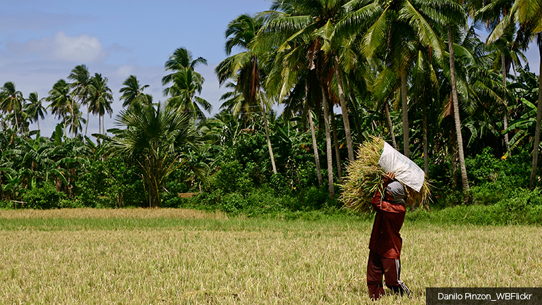
Philippines, an archipelagic nation in Southeast Asia, faces significant challenges in land tenure and forest management. These issues are rooted in complex factors such as overlapping land claims, fragmented governance structures, and socio-political conflicts affecting indigenous communities and small-scale farmers. Additionally, the country has a relatively low forest cover, with only about 24 percent of its land area forested. Illegal logging, volcanic activity, forest fires, extreme climate events, and slash-and-burn agriculture contribute to ongoing forest loss.
Addressing these challenges is critical for the country’s sustainable landscape management, as well as for meeting its commitments under the Paris Agreement and advancing its Nationally Determined Contributions (NDCs) for climate action. To tackle landscape management challenges, PROGREEN launched a knowledge program to help the Philippine government clarify tenure rights in forest landscapes. The program aims to improve land management and enhance tenure security by offering technical and policy support, focusing on areas affected by overlapping land claims. To address land conflicts and strengthen legal frameworks, the team adopted an integrated approach involving stakeholder engagement through community consultations and a Technical Working Group. The project will also focus on technical innovations such as community-based mapping for land classification and claim verification, capacity building, and policy change through knowledge exchange at the national and international levels.
A second knowledge program in the Philippines aims to improve landscape management and water storage through nature-based solutions (NBS). PROGREEN will support the Government of the Philippines by increasing technical capacity to integrate NBS and Payment for Ecosystem Services (PES) across watersheds. The team will undertake hydrological modeling of the target watersheds to provide a cost-benefit analysis of NBS versus gray infrastructure. Findings will inform the design of new and updated incentives and financing mechanisms to transition toward greener flood management practices.
PROGREEN supported multiple analyses to improve existing knowledge of land tenure, including land use mapping, a review of legal and policy frameworks, and a review of Forest Land Use Plans (FLUPs) and Comprehensive Land Use Plans (CLUPs). The team also conducted a community perception study to gauge understanding and boost local participation in formulating FLUPs. The project's main output is recommendations for developing a unified land classification map through gender-inclusive procedures. Another key recommendation was to strengthen forest and land-use planning tools by increasing stakeholder engagement and harmonizing these tools with existing development plans, such as CLUPs and Ancestral Domain Sustainable Development and Protection Plans (ADSDPPs). Finally, the project also advocated for the passage of important legislation, including the Final Forest Limits Act and the Mass Rededication of Collective Titles Act, to address issues related to land use overlaps and secure land tenure rights.
PROGREEN, in cooperation with the Department of Environment and National Resources (DENR), held two initial stocktaking workshops on hydrological modeling and the economics of NBS. DENR used lessons from the workshops to convince the Department of Public Works and Highways (DPWH) to transition from grey infrastructure approaches such as dikes to a more comprehensive approach to water management that includes natural solutions. There is speculation that this change in mandate will lead to budget reforms, allocating more financial resources to NBS.