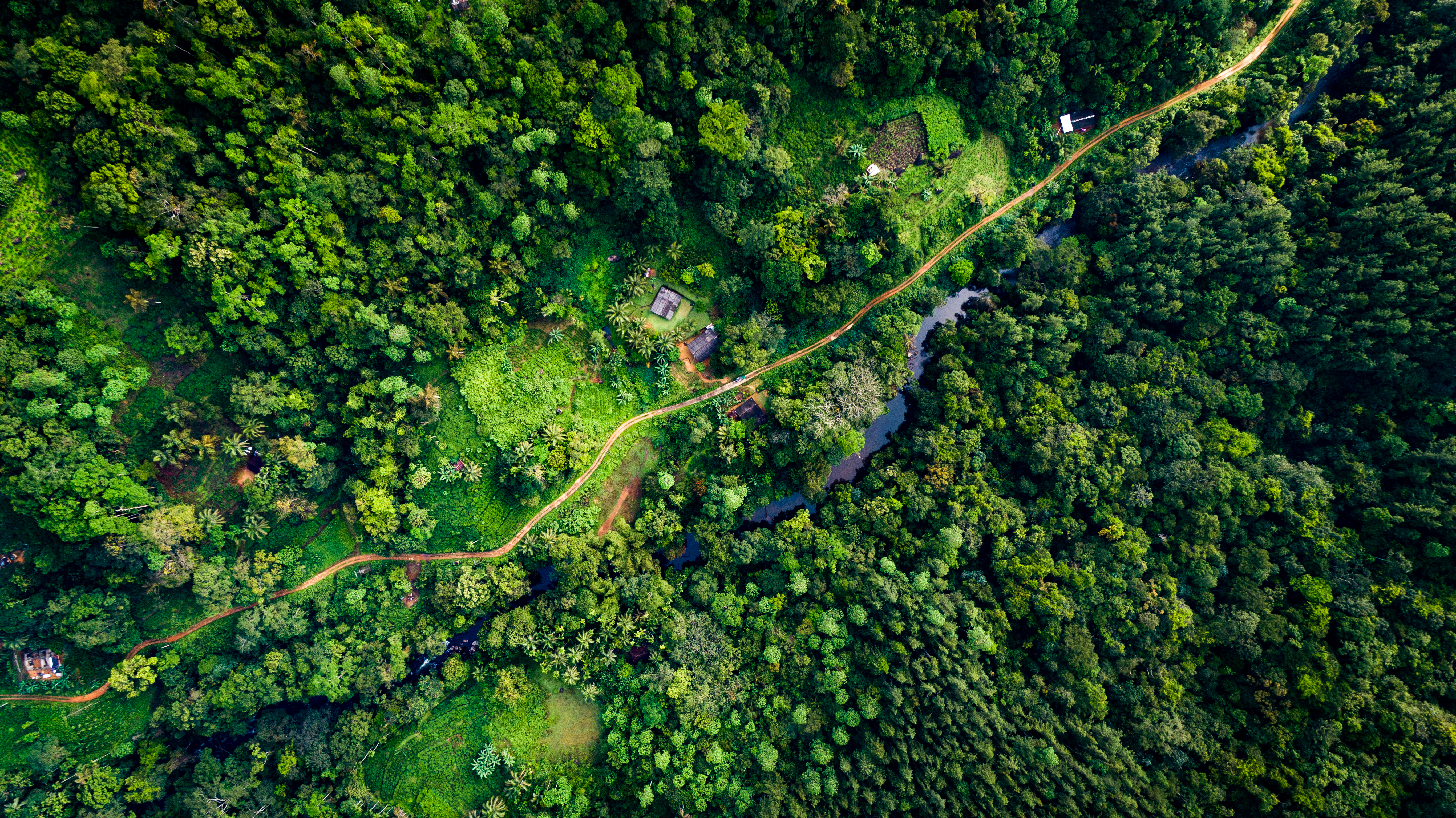
Overview: Recent major breakthroughs in satellite Earth Observation (EO) data provision provide unprecedented views of the Earth and present an opportunity to address limitations in forest monitoring capabilities. In 2014 and 2015, the European Space Agency (ESA) launched two satellite missions – Sentinel-1 and -2 – aimed at responding to the challenges of monitoring the global environment. Both satellites are revolutionary in terms of wide coverage, high spatial resolution, and frequent repeat coverage, and Sentinel-2 provides a unique wide-range of spectral measurements. The data collected by these missions are provided through an open access policy. These new missions and open access dramatically increase available data and many existing satellite EO methods and tools are yet to take advantage of this increased data volume along with cloud processing capabilities and the new satellite system’s performance capabilities (e.g., spectral range (radar/multispectral), higher spatial resolution, increased visit time, data products pre-processing, etc.). The World Bank implemented the Satellite Monitoring for Forest Management (SMFM) project to develop satellite EO methods and global knowledge to address challenges related to monitoring tropical dry forest ecosystems and forest degradation assessment. ESA was a key project partner, providing in-kind support in the form of data, tools, and technical knowledge. The Project was financed by the Global Environment Facility (GEF).
This side event will present innovations in technical solutions to monitor changes in tropical dry forests. In addition to presenting new and innovative technical solutions, it will launch a discussion on how capacity constrained forest administrations need to change their decision making, budgeting and capacity building to tap the better the opportunities provided by new information technology and improved access to data.
Format: The session was organized as hybrid via Zoom platform and in-person from a conference room in Seoul, Republic of Korea.
Moderator: Garo Batmanian, Global Lead for Forests, Landscapes, and Biodiversity, The World Bank (in Seoul)
Agenda & Speakers:
- Satellite Monitoring for Forest Management – General Introduction and the SMFM Tools
Sam Bowers, Postdoctoral Research Associate, University of Edinburgh
- Panel and Discussion
Anna Burzykowska, Copernicus Innovation Officer, European Space Agency (ESA)
Julian Fox, Team Leader National Forest Monitoring, Food and Agriculture Organization (FAO)
Aristides Muhate, MRV Coordinator, Ministry of Agriculture and Rural Development – Mozambique
This event was held on May 2 as part of the XV World Forestry Congress in Seoul, Korea.